DHI PlumeCast: Empower your dredging operations to safeguard ecosystems
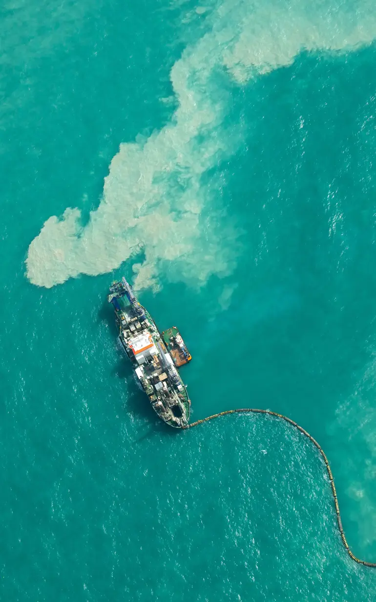
Dredging-related sediment spills can pose a significant threat to sensitive species and natural habitats. As a responsible dredging operator, ensuring regulatory compliance and minimising ecological risks are paramount.
How we can help
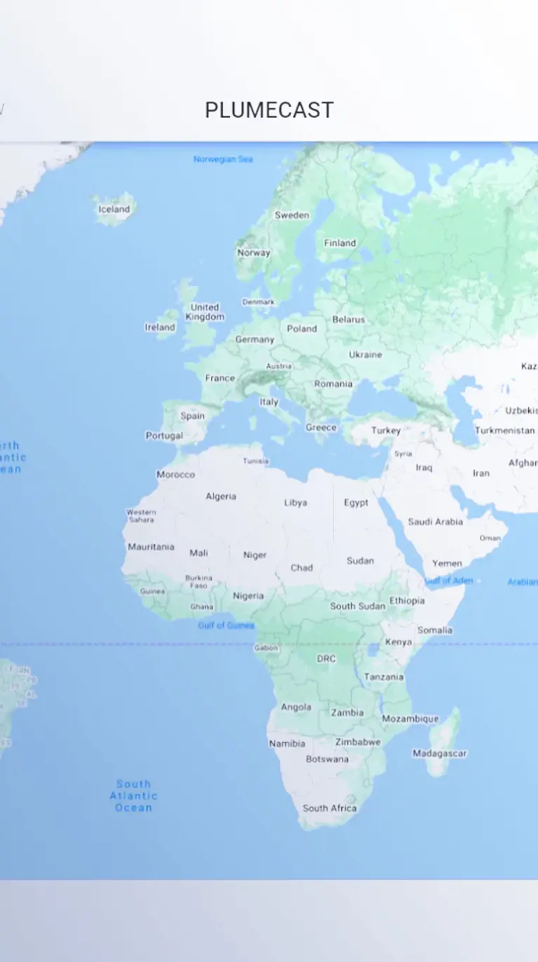
With DHI PlumeCast, you gain an advanced cloud-based solution that enables easy prediction of sediment spills and their dispersion through an intuitive web interface. By harnessing MIKE Powered by DHI's hydrodynamic, sediment and ecological models, coupled with real-time field monitoring and earth observation data, DHI PlumeCast effectively translates simulation results into actionable insights. The best part? DHI PlumeCast requires no specialised modelling expertise! This means that anyone involved in dredging operations can now assess potential environmental impacts, expedite approvals for new dredging projects and further safeguard delicate ecosystems.
Key application areas
DHI PlumeCast can be used to:
- Streamline EIA processes, expedite dredging approvals and demonstrate environmental responsibility
- Optimise dredging with predictive capabilities and data-driven decision-making for efficiency and sustainability
- Proactively identify and mitigate risks in designed scenarios
- Assess mitigation measures, including silt curtains, with advanced simulations
- Forecast spill plumes during operations for proactive impact management
Get started
DHI PlumeCast’s user-friendly interface allows you to effortlessly enter the details of your dredging operation and initiate the simulation process. Within no time, you'll have comprehensive results at your fingertips, which can be animated for seamless visualisation and sharing with colleagues and stakeholders.
You may also like
How can we help?
With our global network of offices, we make sure you get the right answers to your local needs. Tell us about your water challenges and we will get back to you.

